Services we provide
We deliver high-quality soil and geochemical surveys, experienced geological drill supervision, and reliable field support to help explorers generate dependable data, reduce operational risk, and move projects forward with confidence.
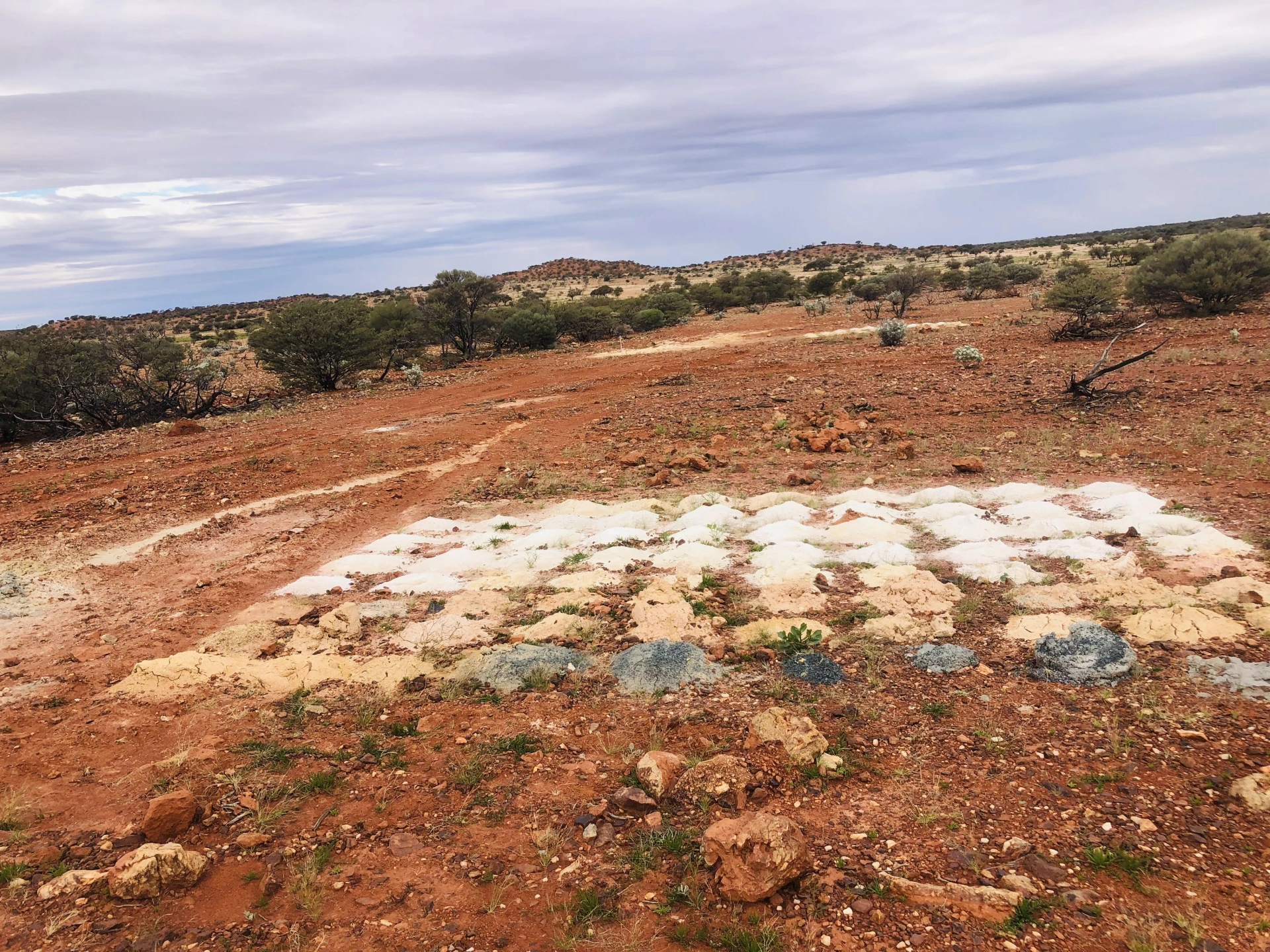
Soil & Geochemical Surveys
We design and execute systematic soil and geochemical sampling programs tailored to your target commodity and exploration stage. From grid planning and sample collection to QA/QC and documentation, we ensure samples are collected consistently and handled correctly to deliver robust and defensible datasets.
Our team understands the importance of detail in early-stage exploration — because good targets start with good geochemistry.
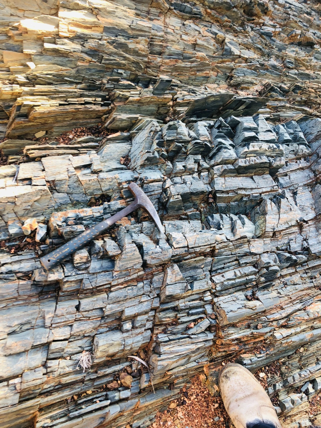
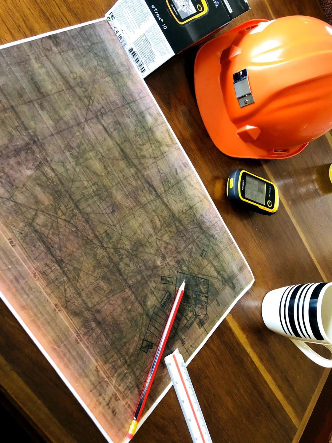
Drill Rig Supervision
We provide geological supervision and logging services for Aircore, RC, and Diamond drilling programs. Acting as the client’s on-site geological representative, we ensure drilling programs are executed in line with exploration objectives while maintaining accurate geological and sampling data.
Our services include:
Geological supervision at the rig
Chip and core logging (lithology, alteration, mineralisation)
Sampling and QA/QC
Core orientation, photography, and data management
We work closely with drillers and project geologists to ensure clear communication and reliable geological datasets.
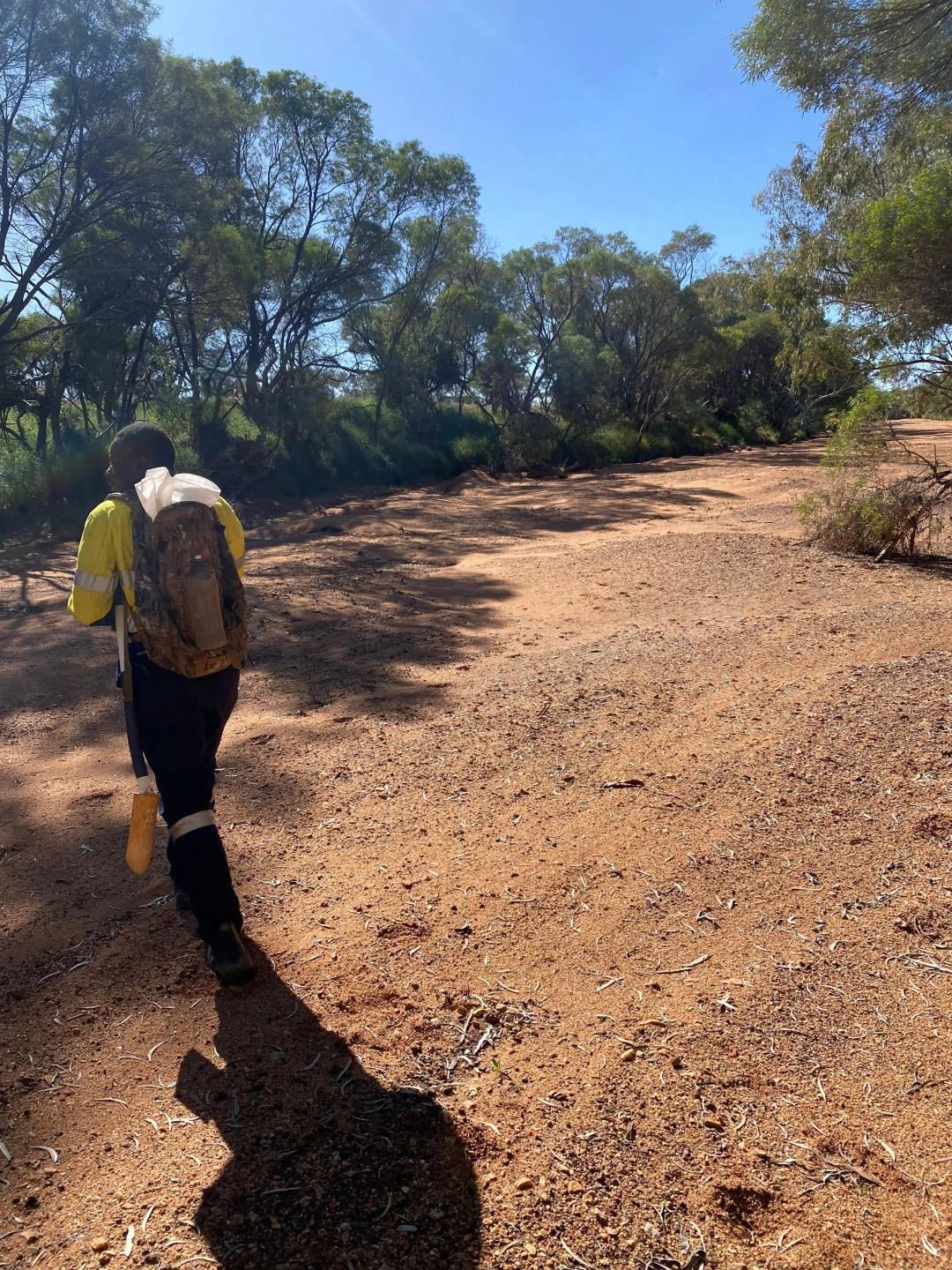
Field sampling and mapping
We conduct detailed geological mapping to reveal mineralisation patterns and structural measurements to generate data. Our experienced field teams record every observation and apply on-the-ground expertise to efficiently target the most prospective areas, helping your exploration programs stay focused and productive.
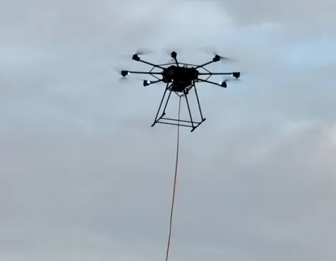
Geophysical surveys
Geostake provides professional magnetic and induced polarisation (IP) surveys to identify geological structures and subsurface targets associated with base and precious metal mineralisation. Our geophysical surveys are used to map faults, shear zones, lithological boundaries, and sulphide-rich systems that commonly host gold and other minerals. By integrating geophysical data with geological interpretation, we deliver reliable targets that reduce exploration risk and support informed drilling decisions. In addition, we offer hydrogeological survey services for groundwater exploration, including site selection for water boreholes
Mining claims pegging and surveys
Geostake is a Certified Registered Approved Prospector (CRAP), also known as a Pegger, registered with the Ministry of Mines and Mining Development of Zimbabwe. This authorisation allows us to legally conduct mineral prospecting and peg mining claims on behalf of our clients. We also provide mining block surveys and beacon installation services in full compliance with Zimbabwe’s mining laws and regulatory requirements, ensuring secure tenure and accurate claim demarcation.